
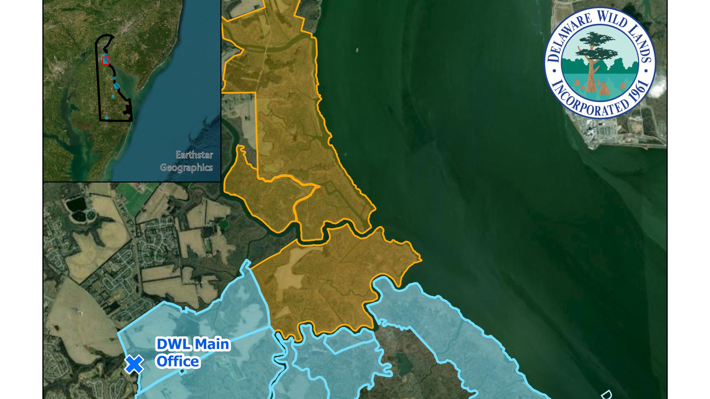
Through our social media and emails, you see a lot of what happens on the ground at Delaware Wild Lands, but there’s also a lot that goes on behind the scenes. Recently DWL staff have been revamping and modernizing our approach to GIS mapping, and in the process we’ve put out a new set of standardized maps of all of our major property complexes on our website!
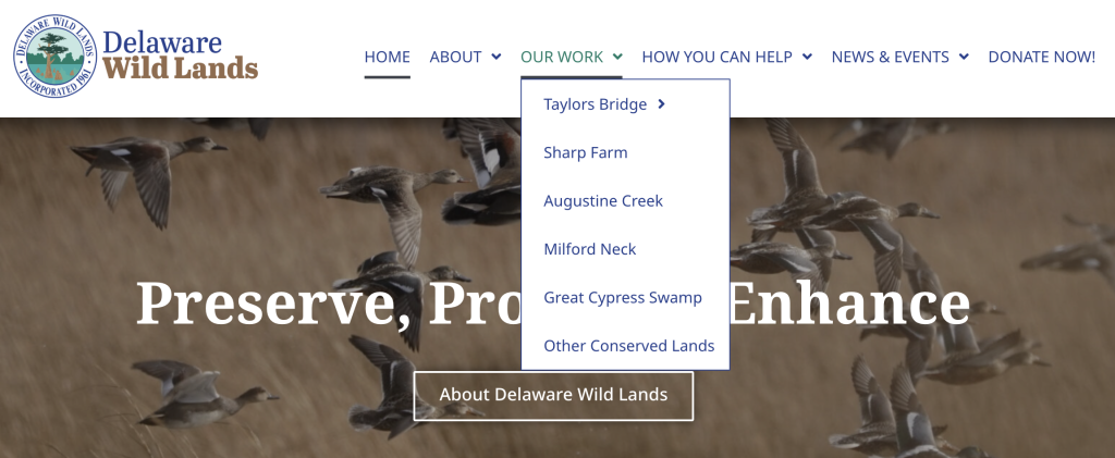
To access these maps, go to “Our Work” on our website navigation bar, and then choose any of our properties.
From there, scroll to the bottom of the property page and click on “View a Map of This Property” and you’ll see our new, up-to-date map!
Standardizing our mapping methods and symbology between staff and across property helps Delaware Wild Lands more efficiently and effectively communicate with eachother, partner organizations and grantors, and with you!